Innovative and Cost Effective
Engineering and Software Solutions
RSC Offers a full suite of COTS simulation software products suitable for commercial or government simulation.
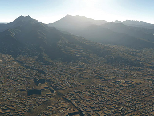
SimHDR for Physics-Based, Multispectral, High-Dynamic Range Rendering
Real-time multispectral radiative transfer model that provides high-dynamic range rendering capabilities to existing visualization applications.
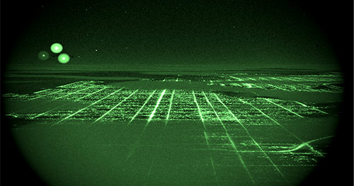
SimHDR-EO for Accurate, Real-Time, NVG Simulation and Stimulation
Includes all of the SimHDR capability for rendering physically-accurate illumination, atmospherics, and cultural lighting and adds capabilities to render real-time EO and NVG sensor effects.
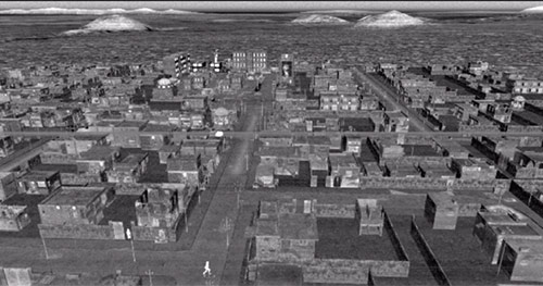
SimHDR-IR for Physics-Based Thermal Sensor Modeling
Includes all of the capabilities of SimHDR with the addition of a physics-based thermal model to render MWIR and LWIR sensor effects and phenomena across time-varying environmental and atmospheric conditions.
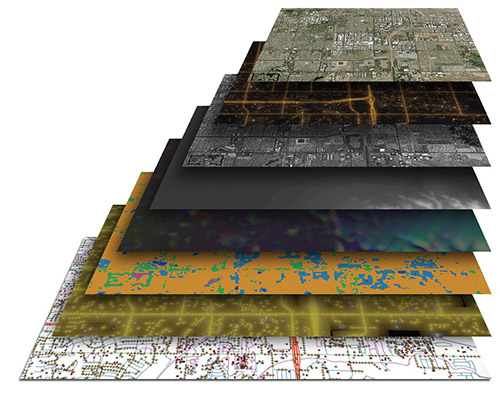
SimGDMS for Data Discovery, Database Management, & Data Translation for M&S Applications.
Simulation Geospatial Data Management System developed specifically for the Modeling and Simulation community to manage enterprise geospatial data assets for rapid discovery, retrieval, processing, distributed publishing, and 3D exploitation.
Tactical Evaluation of Analytical Measurements (TEAMWorks)
Provides a complete solution for the collection and analysis of real-time performance data during live and simulated training events to enhance decision-making and training effectiveness.
Science Products Services
find out moreLatest News
21
Mar
The Natural World is Not Displayed in 0-255 Values, Why Should Your Visual Display Be?
19Jul
The Value of Performance Intelligence – Infographic
22Jun
From Data to Performance Intelligence
03May
RSC Invited to RFID Journal Live! Conference
04Feb
TEAMWorks Featured in RFID Journal
read more


