Details on RSC Geospatial Simulation Services
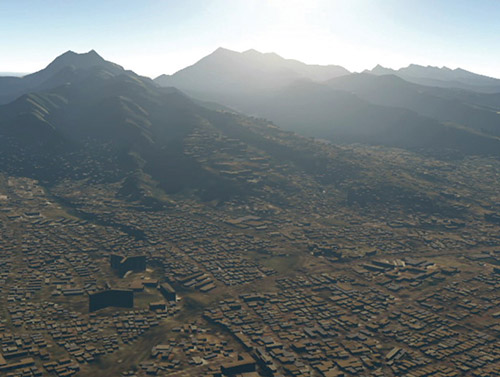
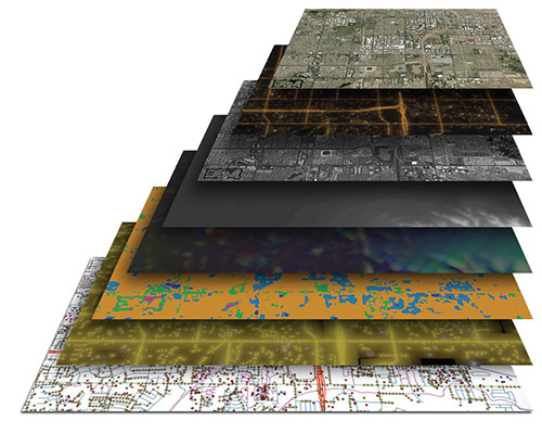
RSC offers data products and related services specializing in high-fidelity real-time visual and sensor simulation pipelines. We have a proven track record for providing low-cost rapid development of correlated visual, sensor, and SAF databases for numerous M&S applications. Our expert services include the sourcing of commercial and government data and the production and integration of large-area refined geospatial datasets, especially those targeting physics-based virtual and constructive synthetic environments.
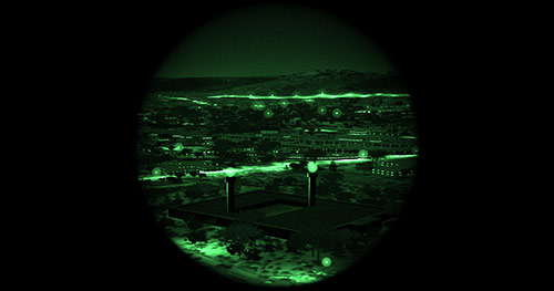
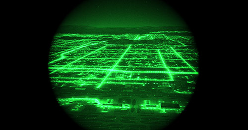
In addition, our experienced 3D modelers, GIS specialists, and simulation engineers have extensive knowledge of simulation standards, GIS formats, and physics-based processes that are necessary to meet the stringent requirements of synthetic environments for Real-Time M&S applications. Unlike other visual terrains used in M&S applications, RSC consistently applies physics-based rigor in developing the synthetic environment to provide realistic lighting (day and night), atmospherics, shadows, and high-dynamic range rendering.
Our practiced DOD data development also ensures that our datasets will meet associated DOD deliverable compliance requirements. Our DOD customers rely on our experience in the development and demonstration of common training and mission rehearsal visualization technologies. From these technologies, RSC also authors and demonstrates key elements of published geospatial data and metadata standards such as NPSI (NAVAIR Portable Source Initiative). RSC’s continuing support of federal data production and archival programs facilitates sourcing and aggregation of US government data sources ensuring best value data delivery to simulation programs.
